
January 19, 2024 Update: The rain and snowmelt on 12/18 & 12/19 caused the Winooski River to reach major flood stage for the second time in the last five months, again causing erosion and damage to trails.
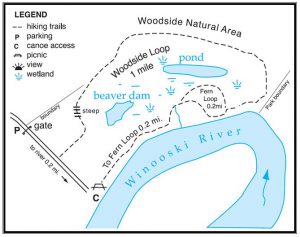
The two bridges on the Woodside Loop Trail have been displaced several feet up the trail again. Access to the Winooski River directly from the parking area is open. Trail access beyond the displaced bridges is closed.
We hope to get the bridges back in place in coming weeks but such work in the winter is challenging. We appreciate understanding and patience as our small staff work to get the bridges back in place.
Please use caution on trails near river edge as erosion and undercutting of the river bank is occurring. The Winooski River remains high and moving swiftly for this time of year. This flood event left more silt and mud along with pools of standing water that are now frozen on some trails – please use caution as trail surfaces may be more uneven and icy.
Woodside Natural Area
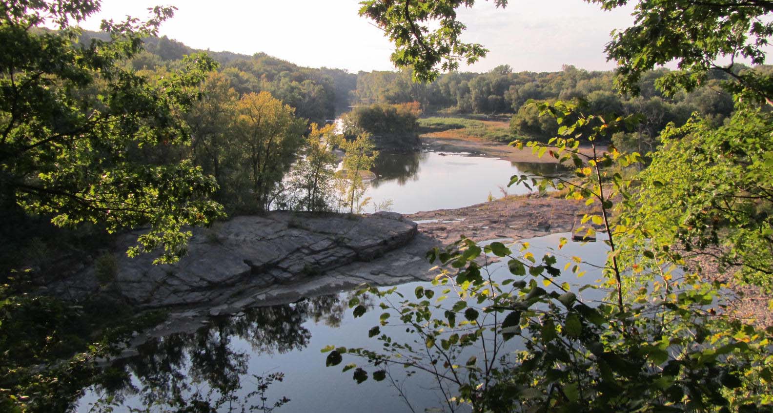
 Accessible from Route 15, across from Fort Ethan Allen, Woodside Natural Area supports a diverse assortment of habitats and natural communities.
In the middle is a large beaver-impacted wetland that is a hot spot for bird activity. Visitors may be able to spot the eastern wood –peewee, wood duck, pileated woodpecker or Baltimore Oriole here. The Natural Area abounds with red and white oak, white and pitch pines, as well as red maple, witch hazel, white ash, basswood and black cherry.
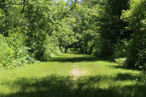
Beginning of the Woodside trail.
This habitat supports a dense herb layer where the rare round-leaved tick trefoil, handsome sedge, and Minnesota sedge can be found. With its diverse flora and fauna, this park is an ideal place to observe animal tracks in winter.